Putting the World’s Vulnerable People on the Map
Each year, disasters around the world kill nearly 100,000 and affect or displace 200 million people. Many of the places where these disasters occur are literally ‘missing’ from any map and first responders lack the information to make valuable decisions regarding relief efforts.
Missing Maps is an open, collaborative project in which you can help to map areas where humanitarian organisations are trying to meet the needs of vulnerable people.
How can you help?
There are three stages in the Missing Maps process:
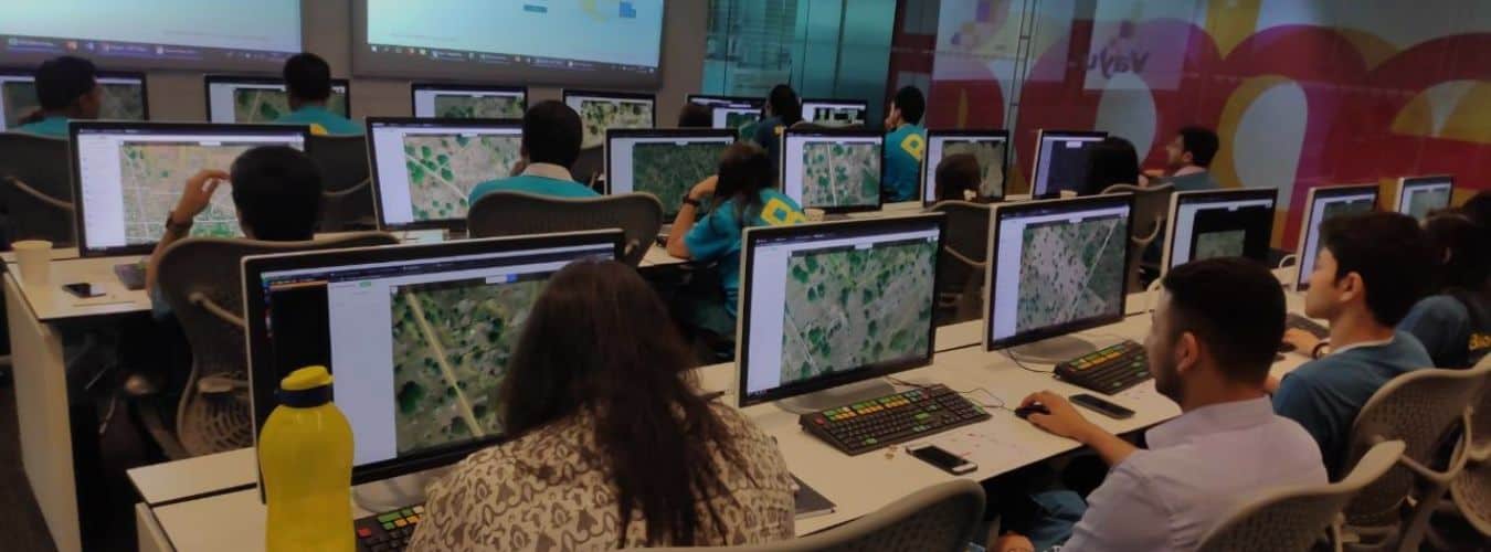
Firstly, we need volunteers to trace the features of an area of interest. Using aerial photographs as a backdrop, we can literally trace road networks, buildings and landmarks to build a line drawing of the area.
Next, we need people on the ground to collect the local names of neighbourhoods, roads, buildings, lakes, etc. This can be done by physically taking printed copies of maps created in step one, or by data collection on GPS devices or smartphones, and checking this information locally.
Lastly, MSF and other humanitarian organisations can start using the mapped information in outbreak management, epidemiology, logistics and other activities that save lives.
The first stage of this process can be done by anyone, from anywhere with some dedication and training. You just need to sign up to OpenStreetMap and spend some time learning how to use the software. Once you are comfortable, you can start!
Mapathons
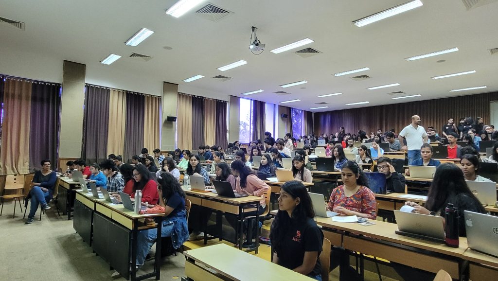
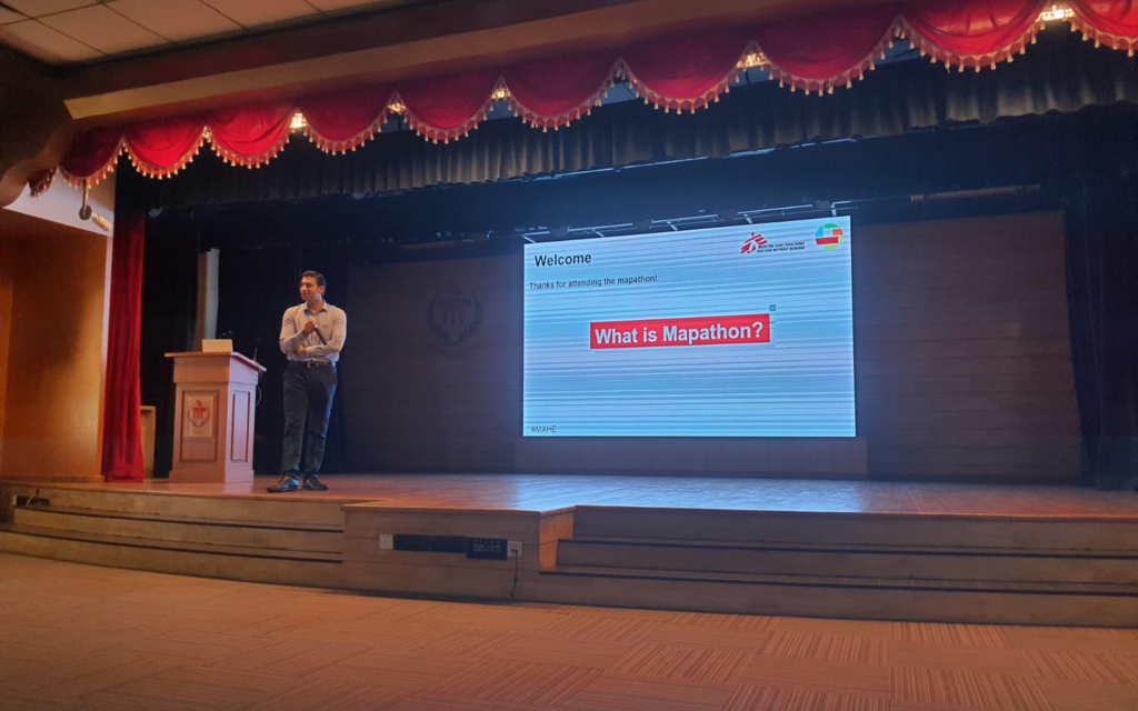
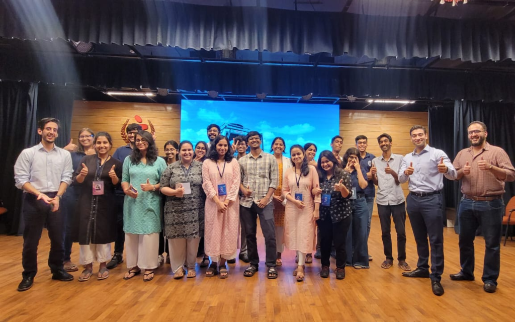
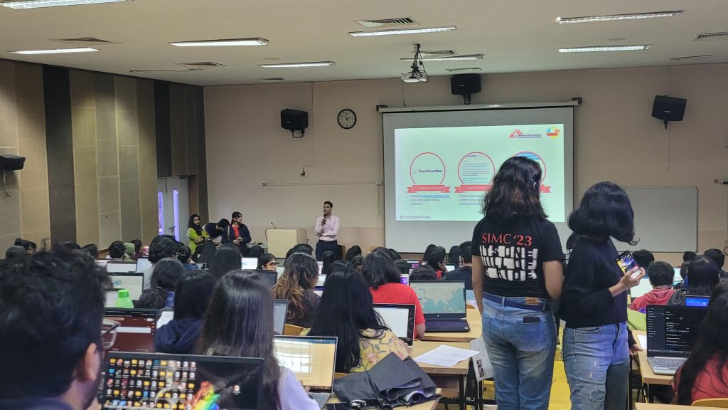
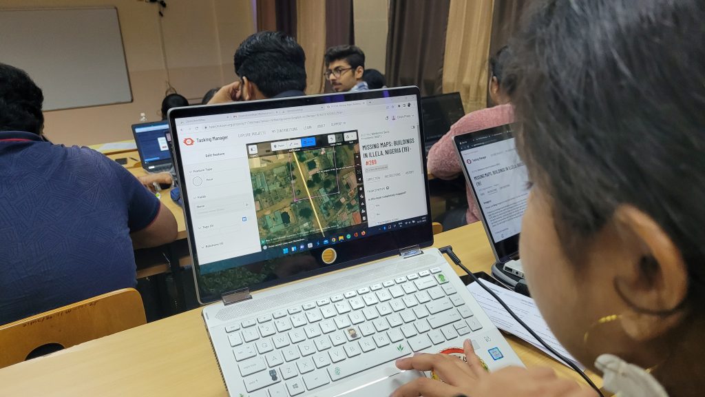
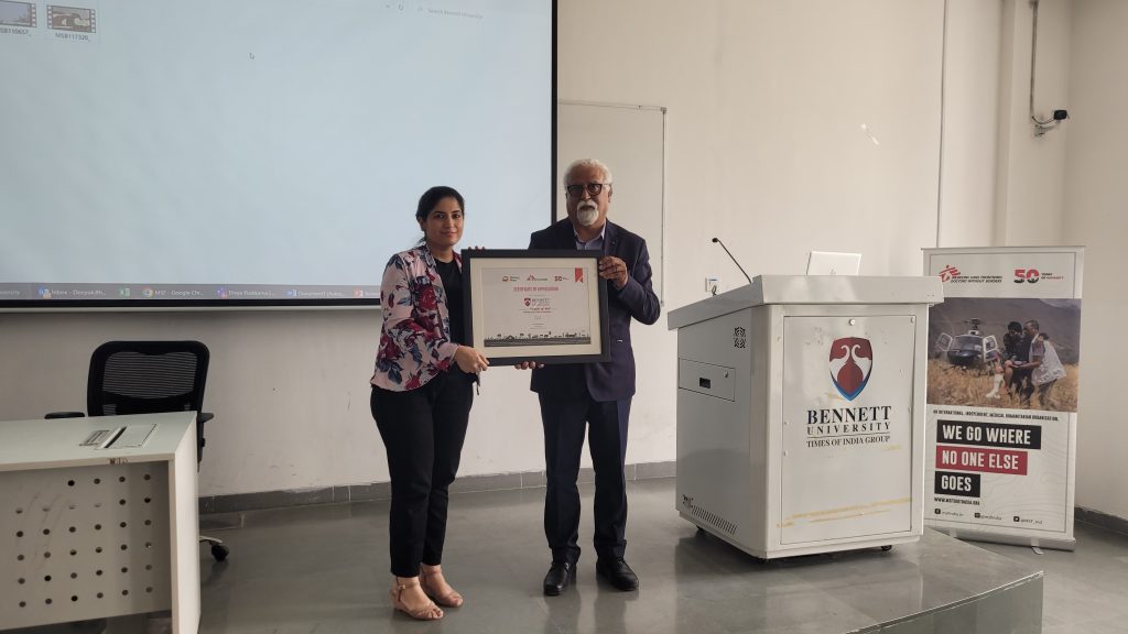
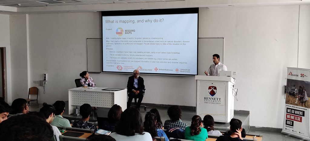
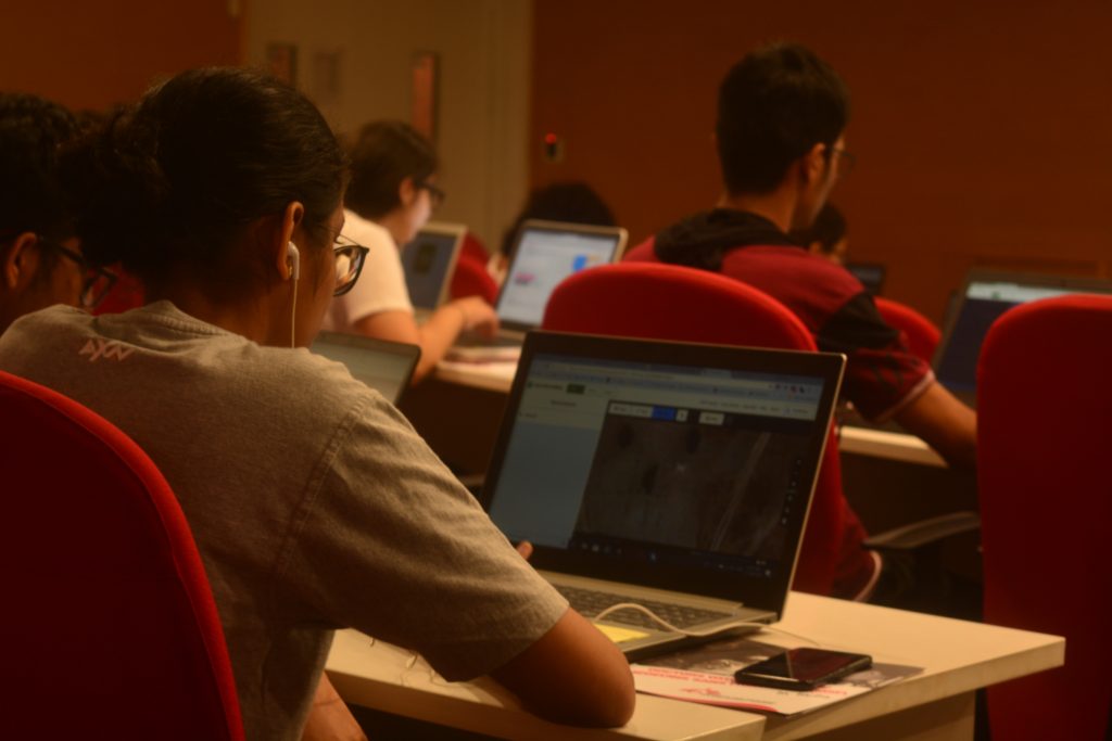
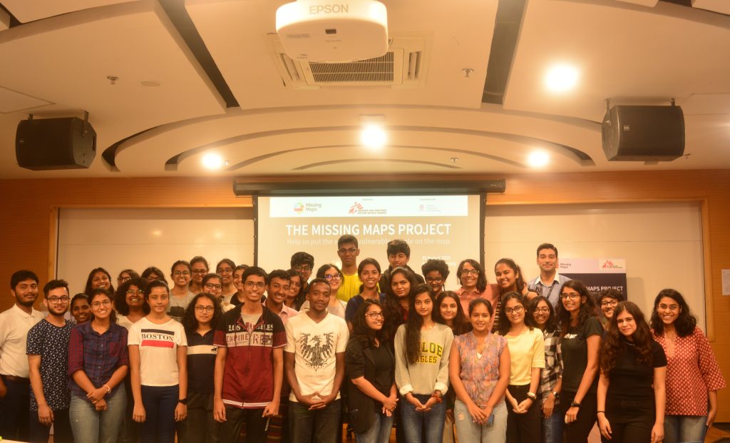
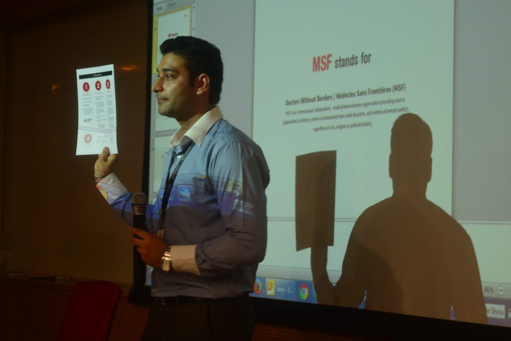
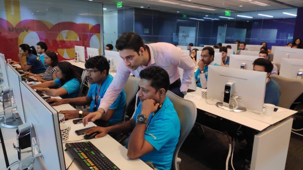
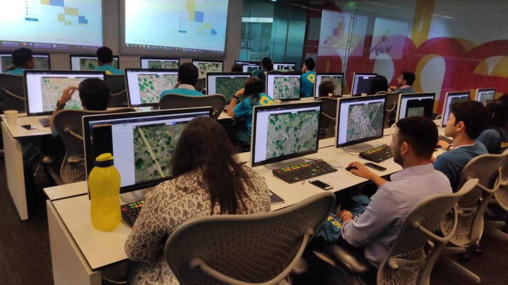
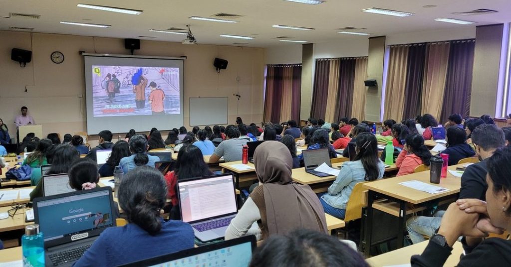
Alternatively, come to a mapathon where Missing Maps volunteers get together to map a wide geographical area all at once. (If you are under 18, you should be accompanied by an adult.)
During the mapathon, mapping experts will be on hand to help you get started and to answer any questions – it’s also a lot of fun! Our mapathons make a big impact in a very short space of time.
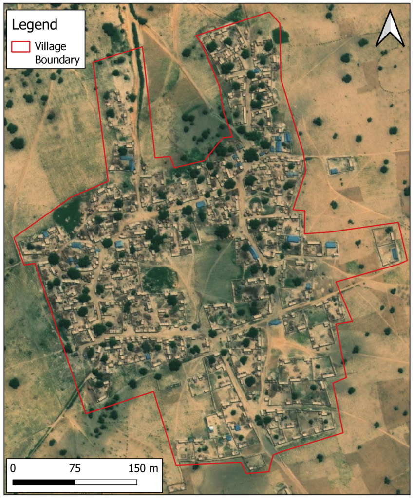
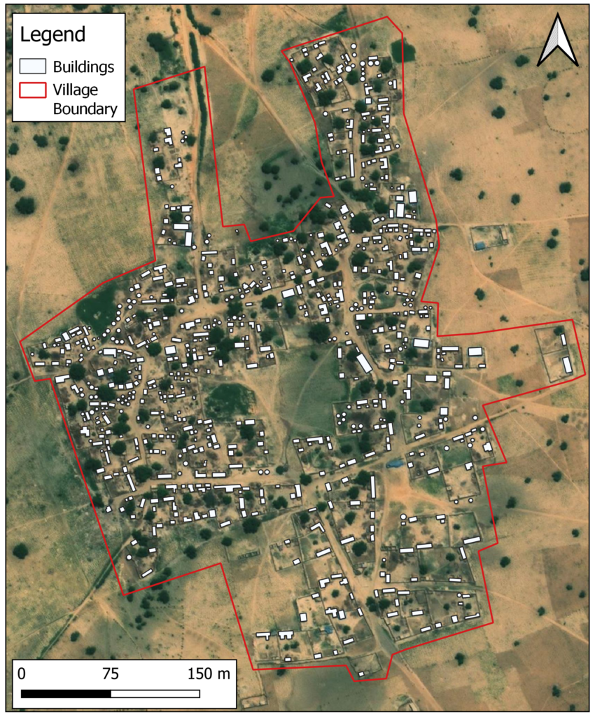
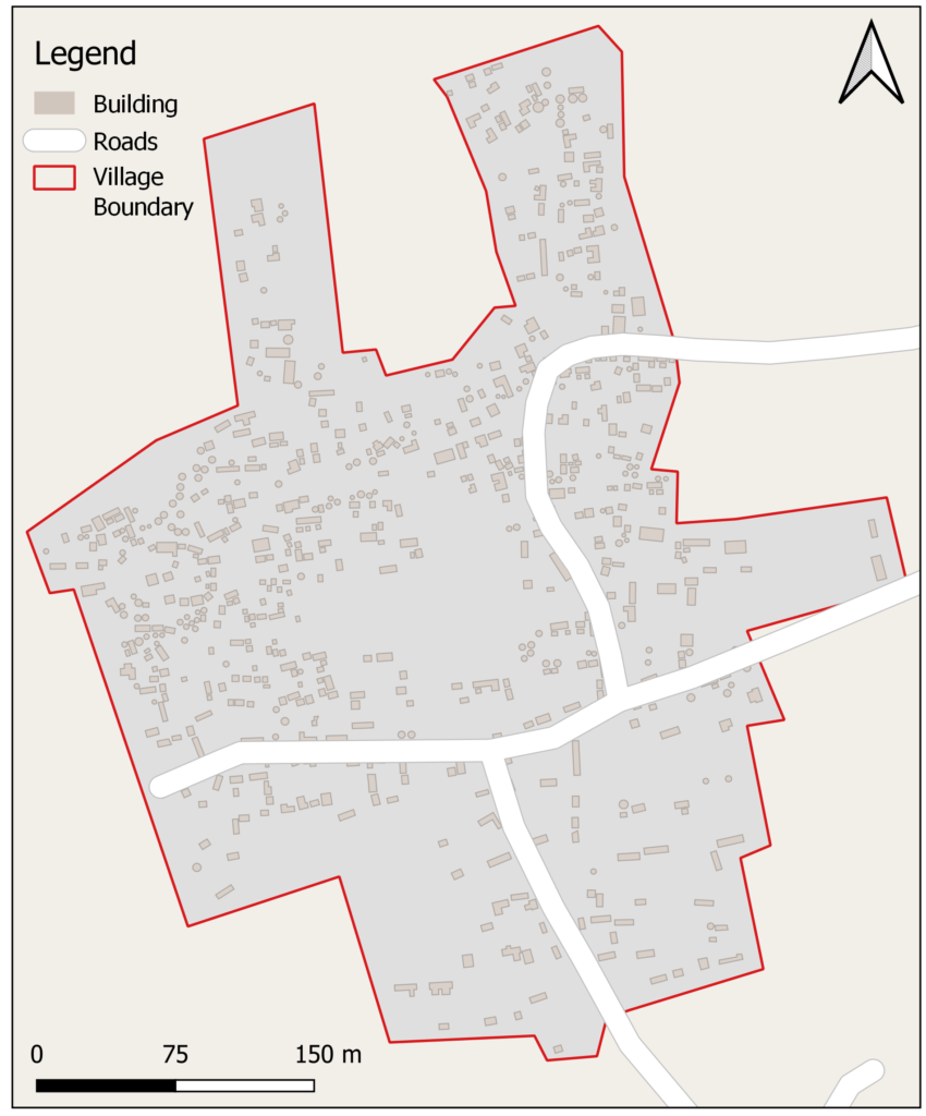
The following is an example of a village in northwest Nigeria on satellite imagery and OpenStreetMap, before and after mapping. This Missing Maps campaign was requested to identify villages and towns in remote locations to help manage noma, a neglected disease.
Before mapping
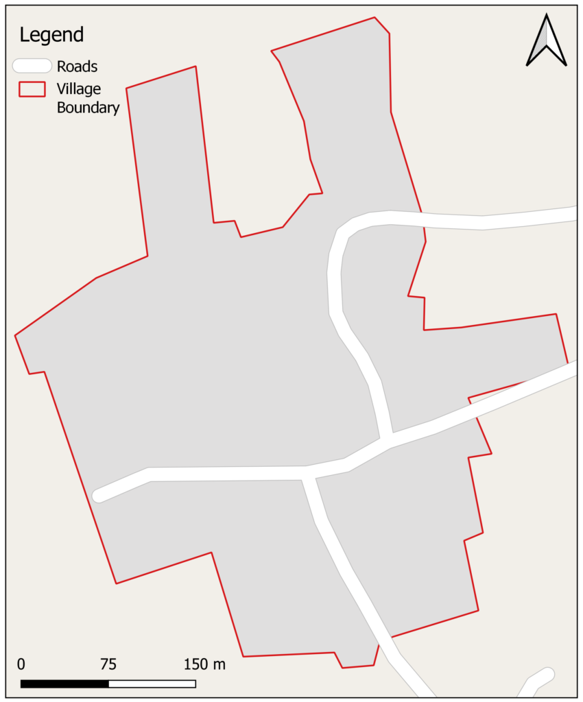
After mapping
Organise a mapathon
Organising mapathons is a fantastic way to build a community of mappers all focusing on the same area of the world. It is also a great learning environment, where new mappers can learn from the experiences of others. Mapathons are organised by groups and individuals all over the world.
Get Involved
